 |
Mt. Hagen
(Wahgi Valley) in the central highlands of PNG
 |
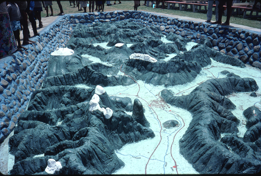 |
Model of the Waghi Valley showing Mt. Hagen (painted white but not indicating snow of course) in the top centre. |
|
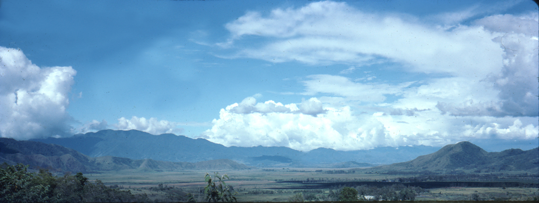 |
The Waghi where Mt. Hagen Airport is situated
When we arrived at Mt. Hagen airport, there were heaps of people sitting around chatting and chewing on long stalks of sugar cane. When I tried it myself, I could understand why the locals found it to be so popular. The women had 'bilum' woven bags around their heads to carry various items. |
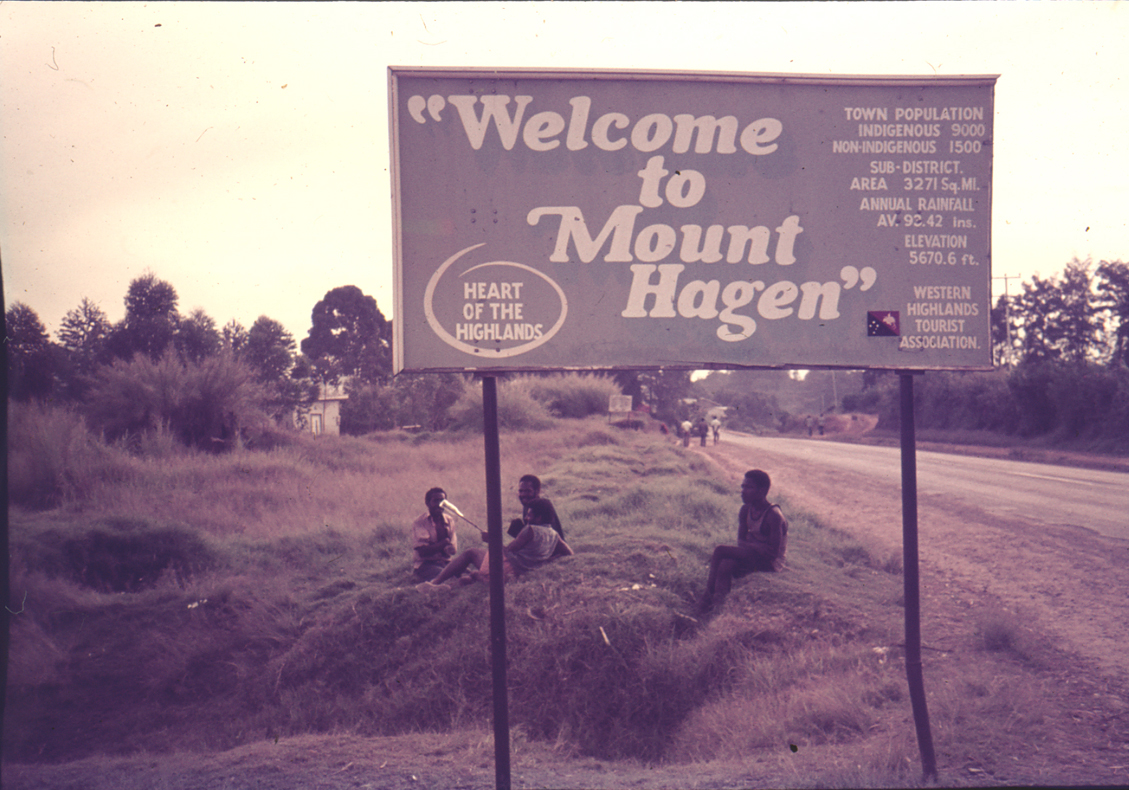 |
This sign greeted us on our arrival in Mt. Hagen early 1975 |
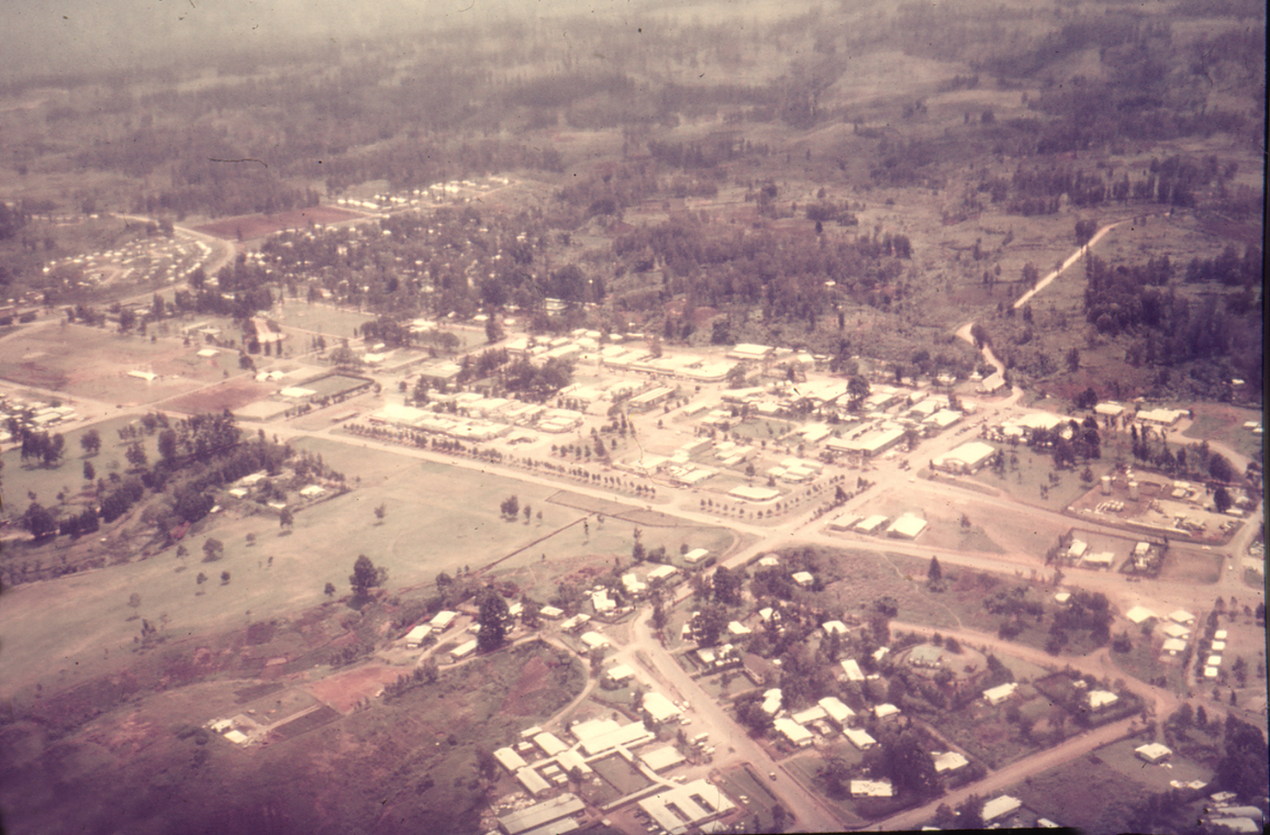 |
| Mount Hagen is the third largest city in Papua New Guinea, with a population of 46,250. It is the capital of the Western Highlands ... Province: Western Highlands Province Elevation: 1,677 m (5,502 ft). In 1975 the population was Indigenous 9,000 and non-Indigenous 1,500 |
 |
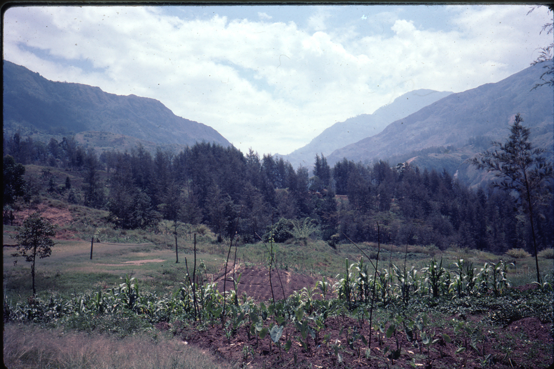 |
| Driving on the way to Mt. Wilhelm - the highest mountain in PNG at 4,509 metres (14,793 ft). |
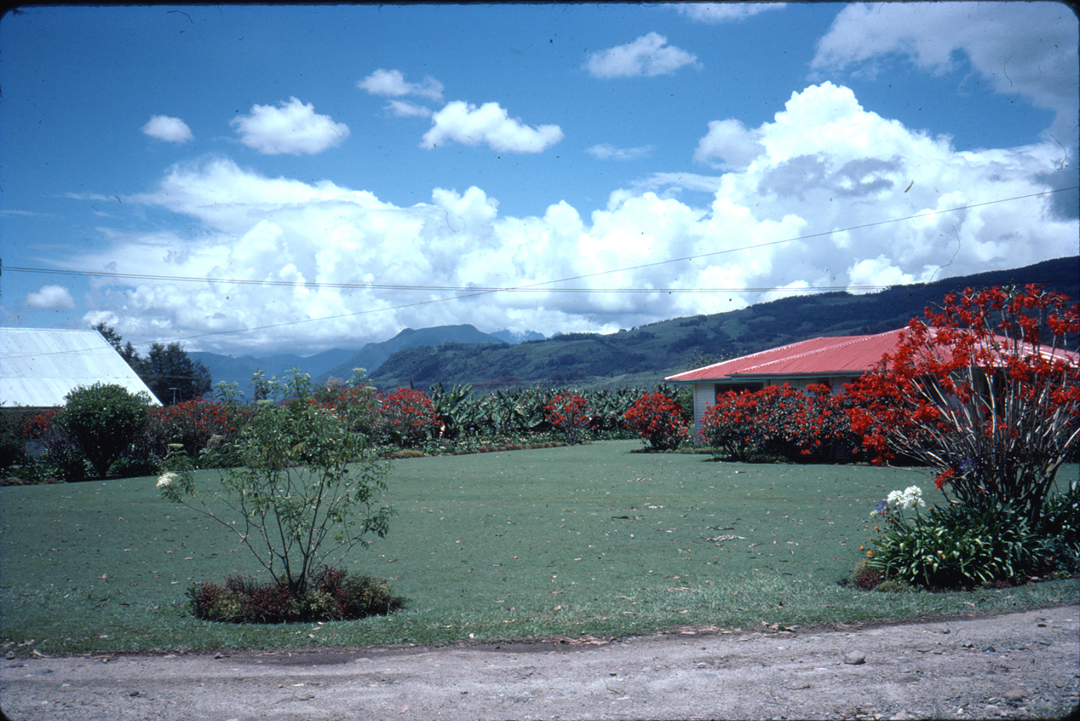 |
On the outskirts of Mt. Hagen |
 |
On the outskirts of Mt. Hagen |
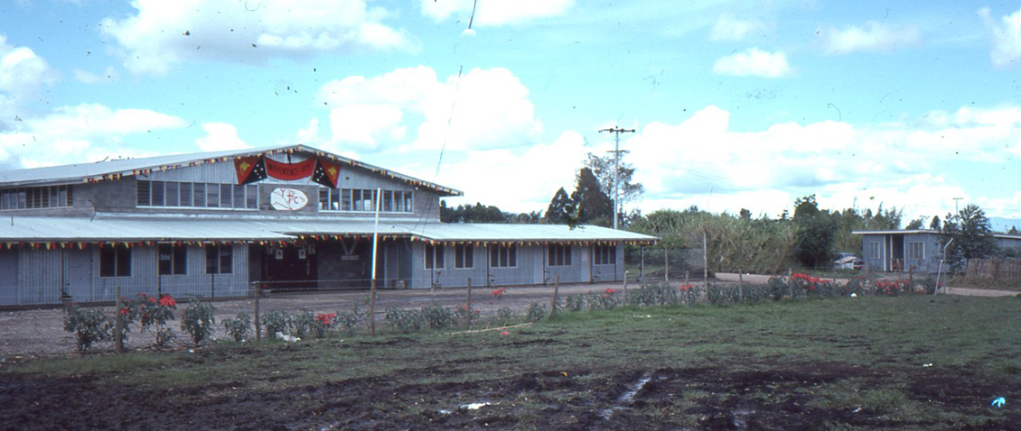 |
Mt. Hagen basketball Centre not far from Holy Trinity Teachers College |
 |
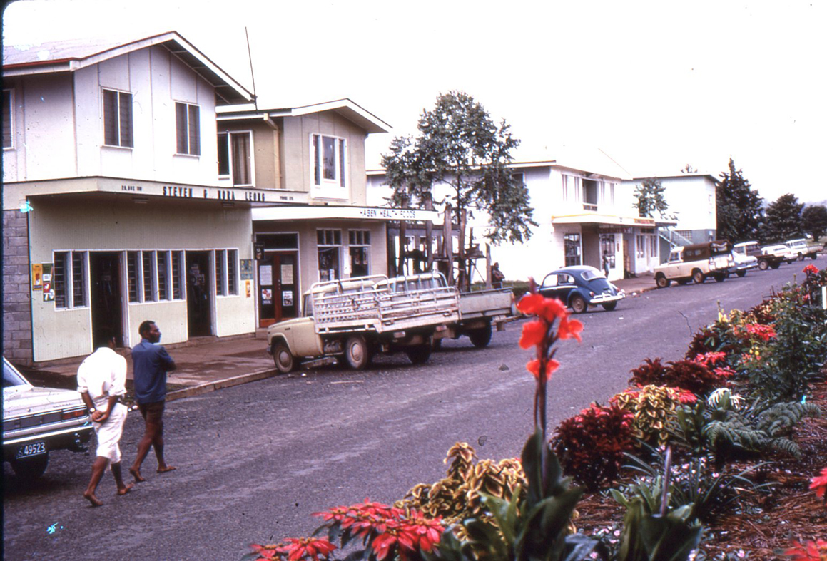 |
Main Street in Mt. Hagen |
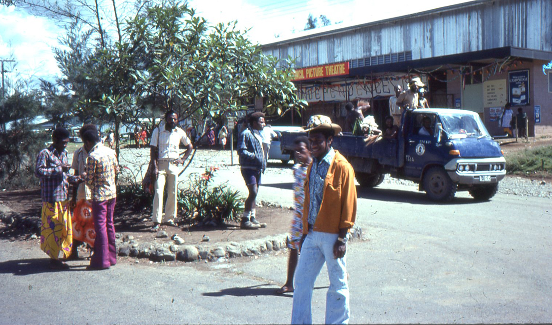 |
HTTC student Moses outside the Mt. Hagen Picture theatre |
 |
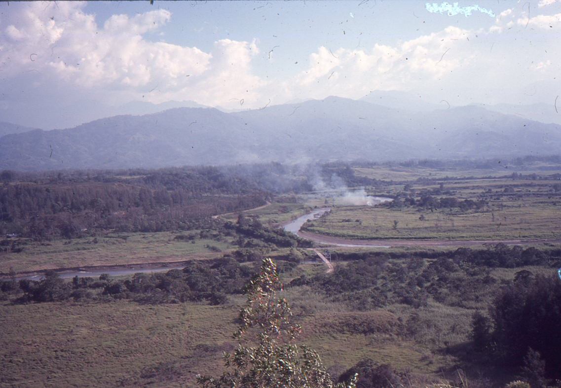
Mt. Hagen valley |
 |
 |
On the outskirts of Mt. Hagen on the way to the Technical College |
 |
Mt. Hagen market |
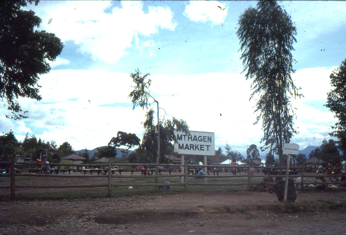 |
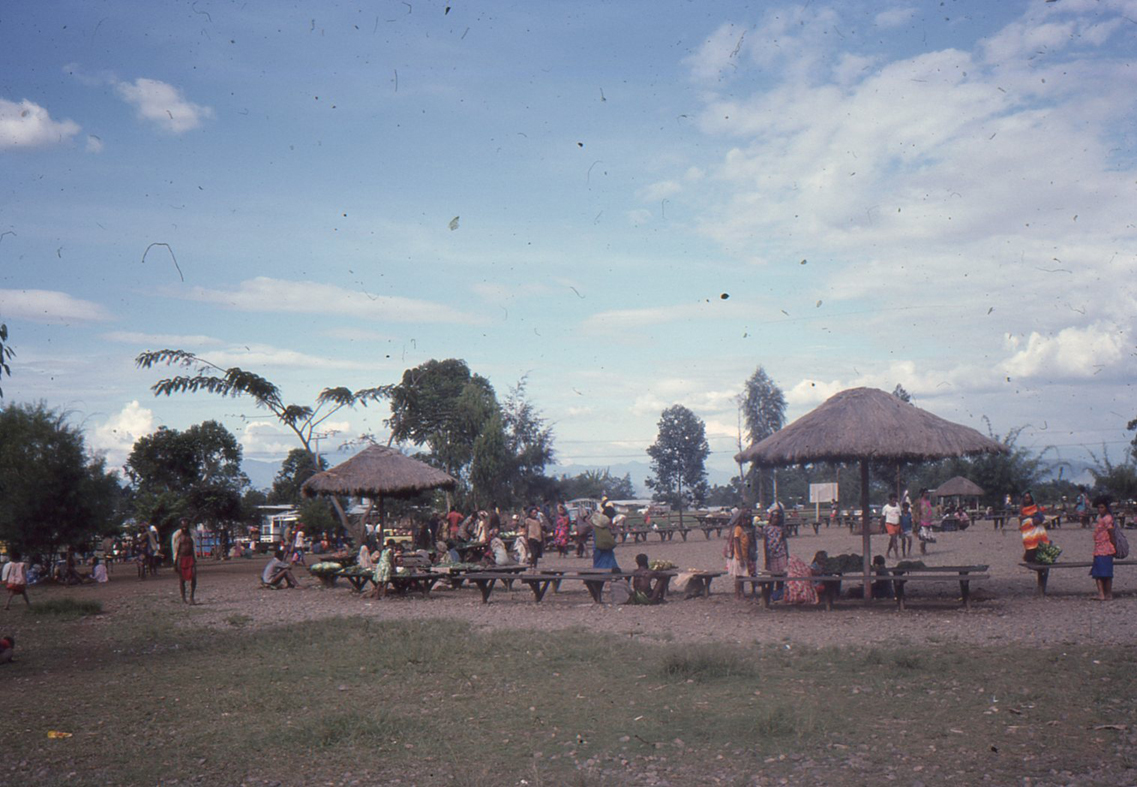 |
Mt. Hagen market |
 |
Half way between HTTC and Mt. Hagen township |
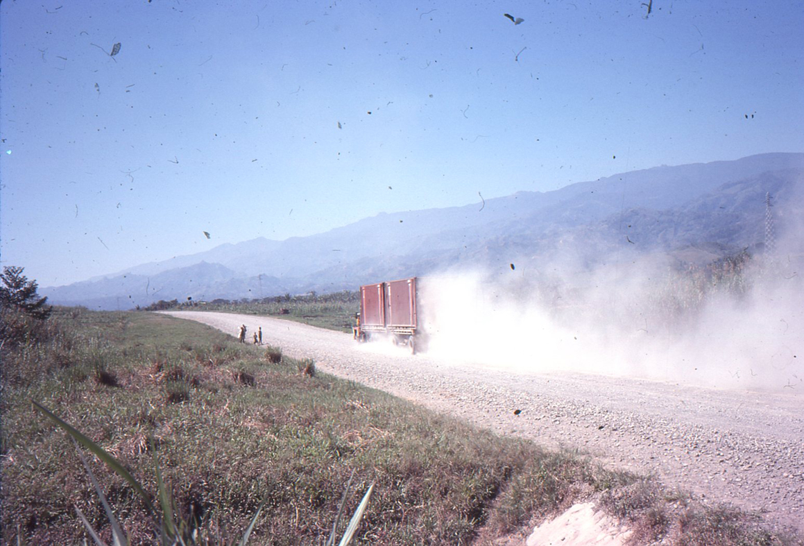 |
The long dusty road from Mt. Hagen to the coastal town of Lae where we played in a basketball tournament - we sat in the back of tray pick up vehicle - 640km round trip. It was so cold coming back at night up though the highlands. We lost our games by the way. |